
Updated
I woke up at 4 this morning, which would be 6 a.m. back home and my usual wake-up time. I took a look out the window, and it was clearly getting light out, though I don’t think it ever really got dark last night. We’re really up north now.
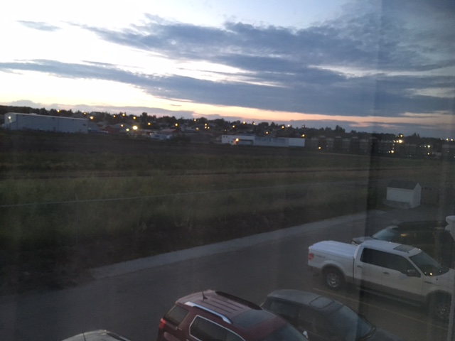
4 am out my hotel window in Dawson Creek
Another bit of evidence? While my phone apps still have weather data and forecasts up here, we’re now past the area where there is weather radar coverage. Even the Canadian weather page online doesn’t provide weather radar this far north.
Dawson Creek looks like you are on the frontier, but it is still a pretty town.
There’s a nice looking art gallery and interesting public art.
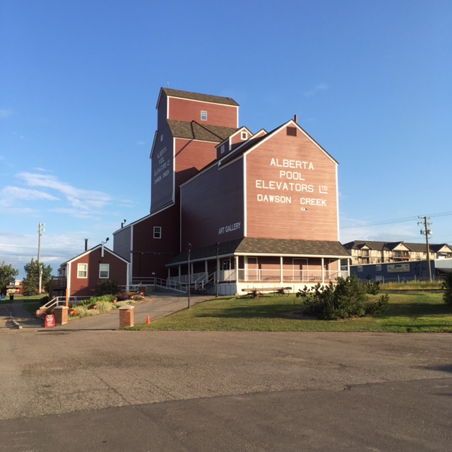
Gallery and visitors center near the Milepost Zero sign.
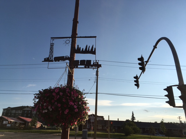
Fun decorations on some of the lamp posts.
There are actually two Milepost Zero markers in town for the Alaska Highway – the one that’s actually at the site of the original Milepost Zero, and another one a block or two away more in the downtown area. No, I don’t understand, either.
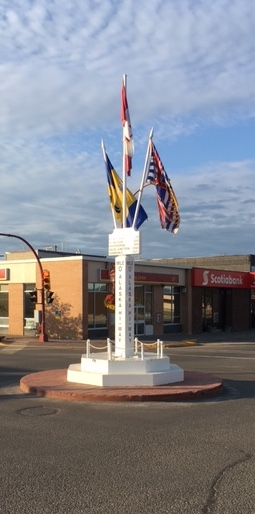
The “other” Milepost Zero.
And here’s the one everyone takes their picture in front of, including us!
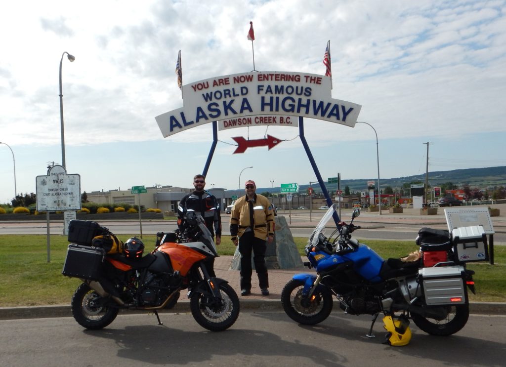
Howard and Ralph at the Milepost Zero in Dawson Creek.
The Alaska Highway was built following the attack on Pearl Harbor as the United States decided it needed a better way to connect Alaska to the mainland.
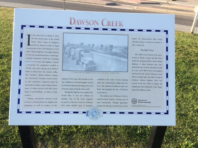
The history of Dawson Creek and the Alaska Highway.
Today it has lots of truck traffic headed north, along with a lot of tourists, many on motorcycles – Like us! But as for now, we are on our way north!